Here are a few maps I’ve found on the internets that are relevant to my trip.
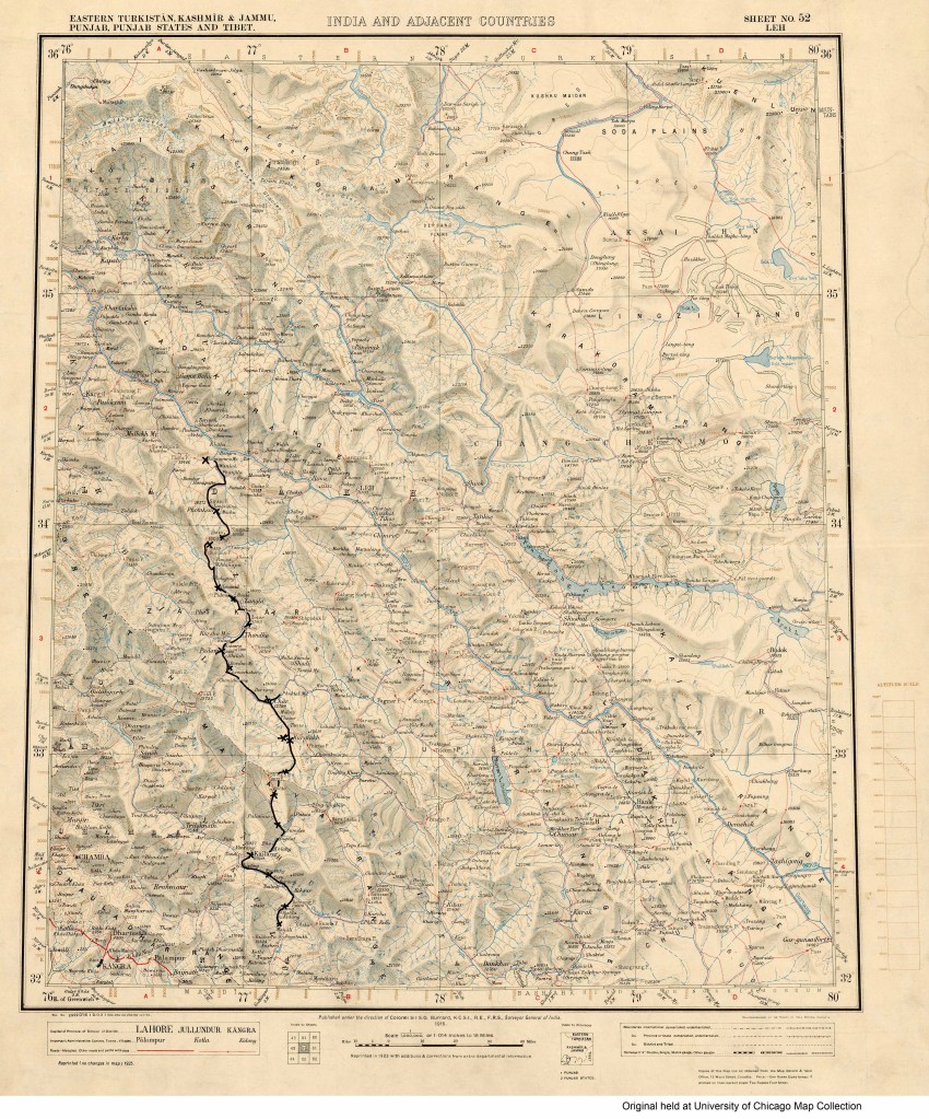
India Survey Map with route and overnight locations scrawled upon it in MSPaint.
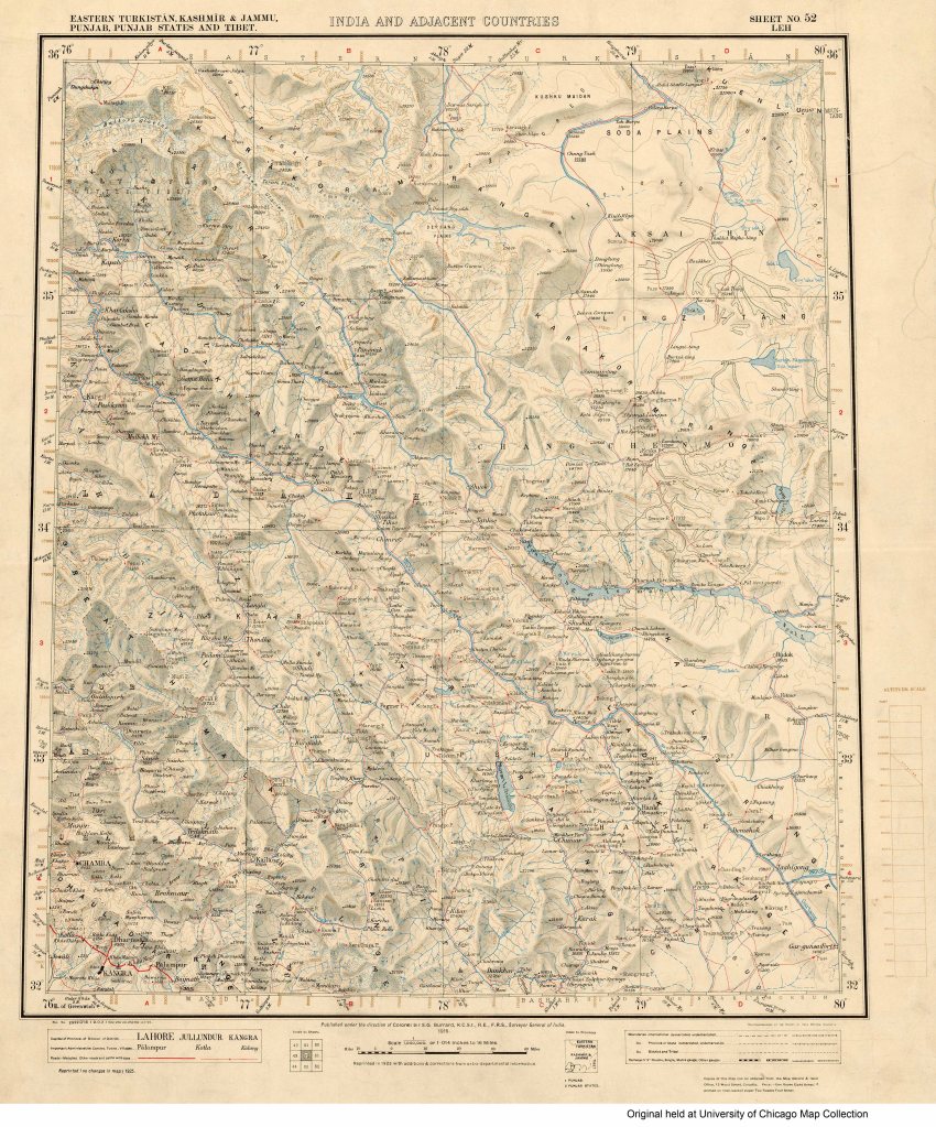
Zanskar and Ladakh Map from the Great Survey (1915)
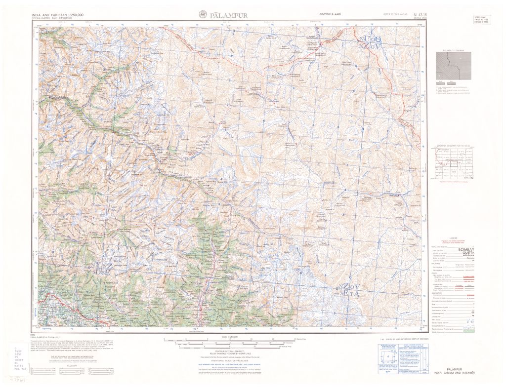
1954 US Army Topo Map that includes Manali, Rhotang Pass, Keylong, Rarik and Shingo La
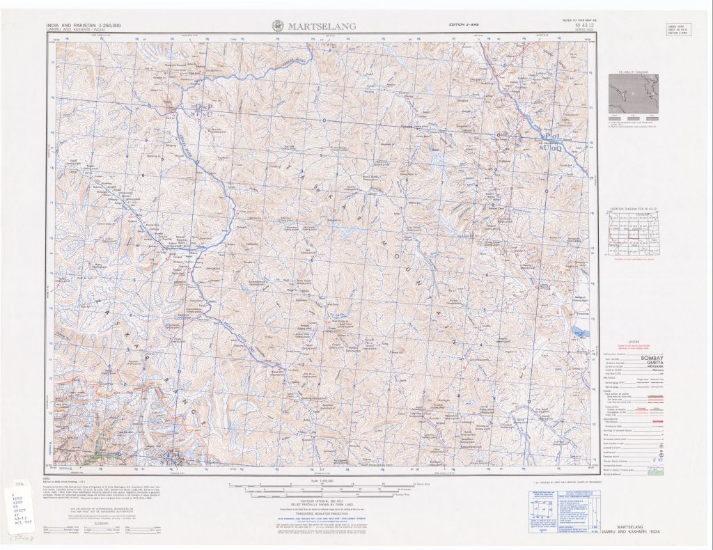
US Army Topo Map from 1953 that includes Lungnak and Zanskar Valleys
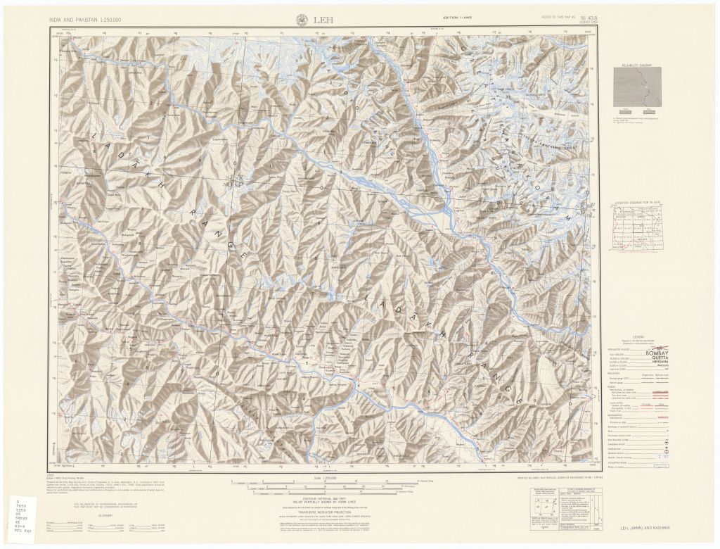
1954 US Army Topo Map including Photoksar, Lamayuru, Nimmu and Leh.
